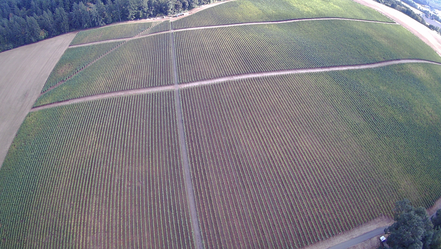
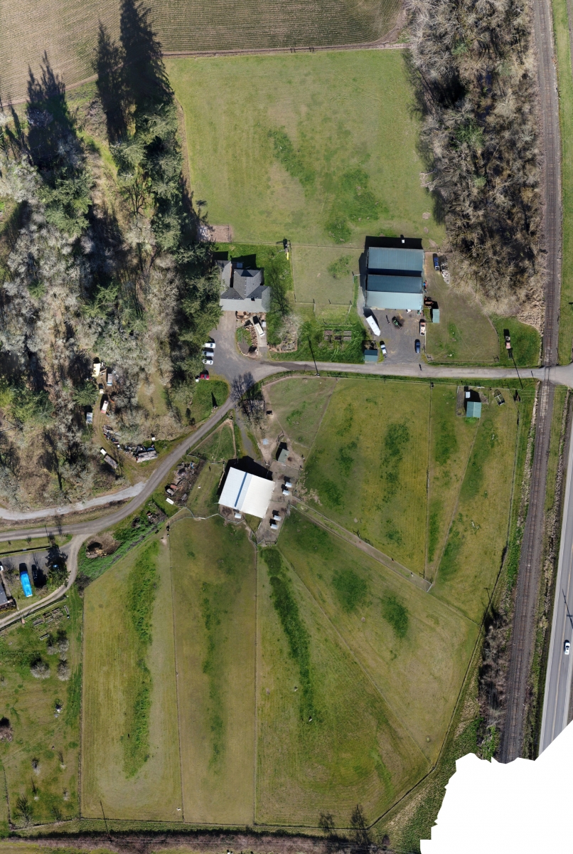
Whether you’re in the market for a suitable property or monitoring and optimizing an existing agricultural operation, aerial photography, combined with state of the art software and imaging technology, gives the 21st century farmer and producer the insight needed to get the maximum yield off of your property while balancing impact on the environment.
Leading agricultural operations are making use of drone photography in many ways:
- Marketing
- Monitoring Planting and Harvesting Progress
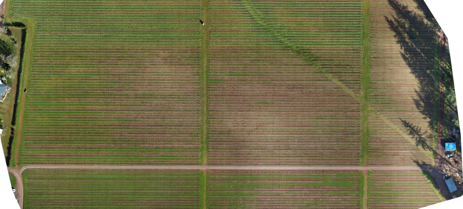
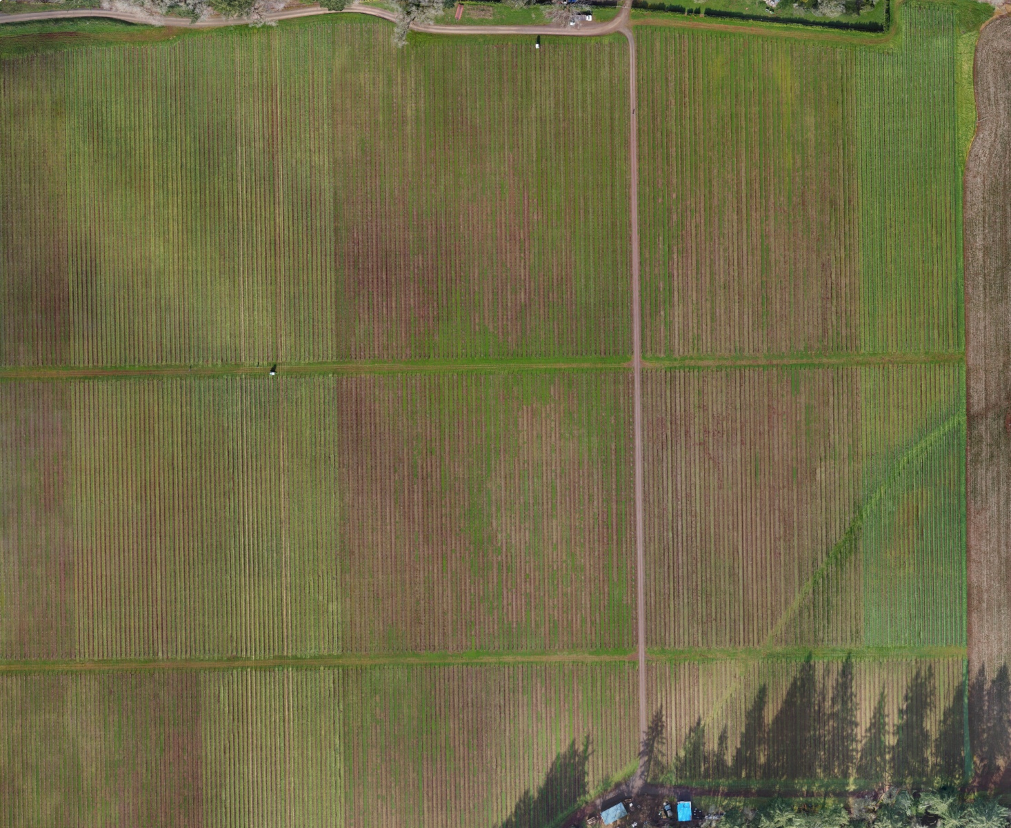
- Getting a detailed and current layout of the parcel
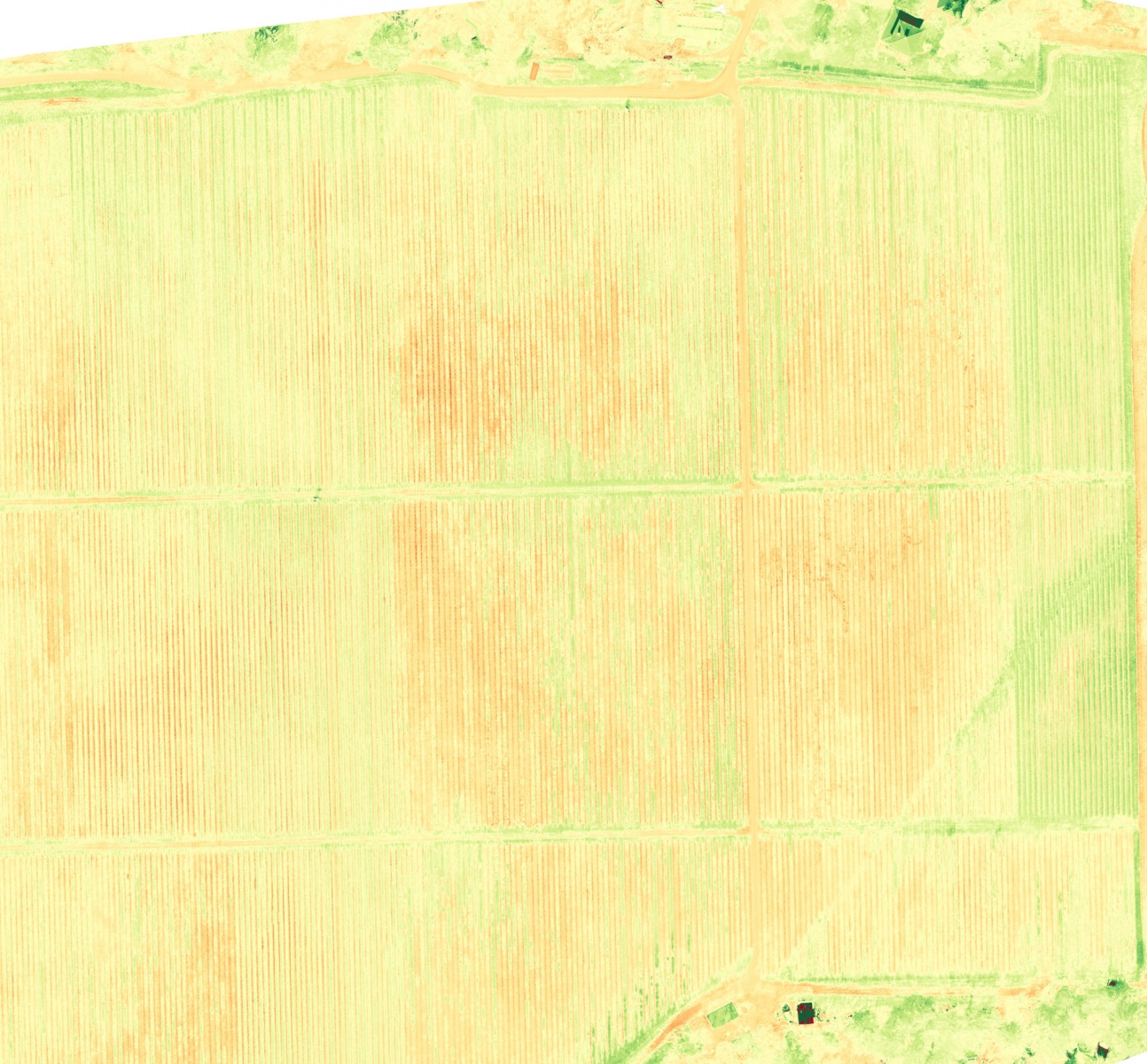
- Plant Health Models:
- Visual Atmospheric Resistance Index (VARI)
- Excess Green Index (EXG)
- Triangular Greenness Index (TGI)
Developed from, regularly conducted, overhead surveys, Orthomosaic Images, and the Plant health Models developed from them, give growers unprecedented insight into the effects of topography, soil, moisture and sunlight on crop health and productivity.
