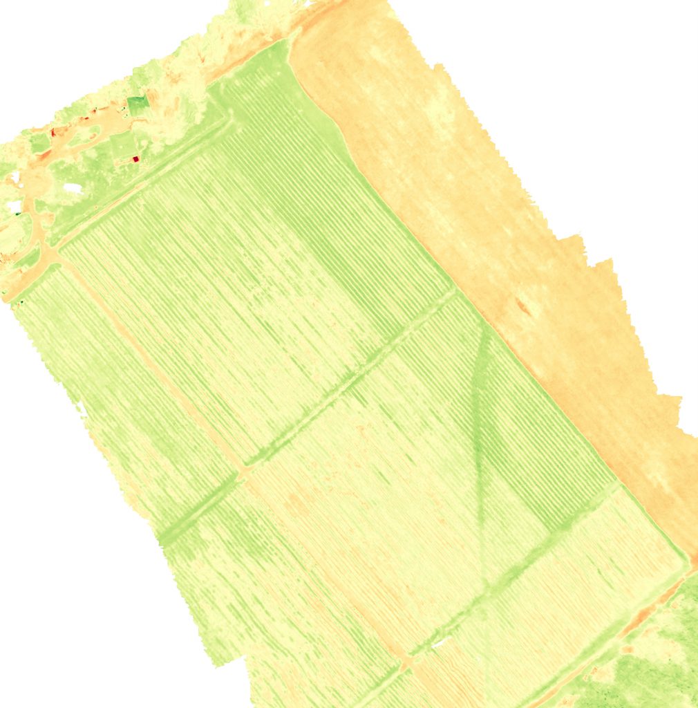
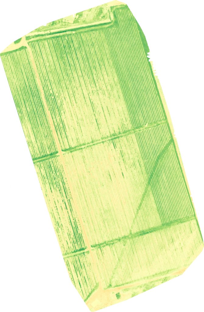
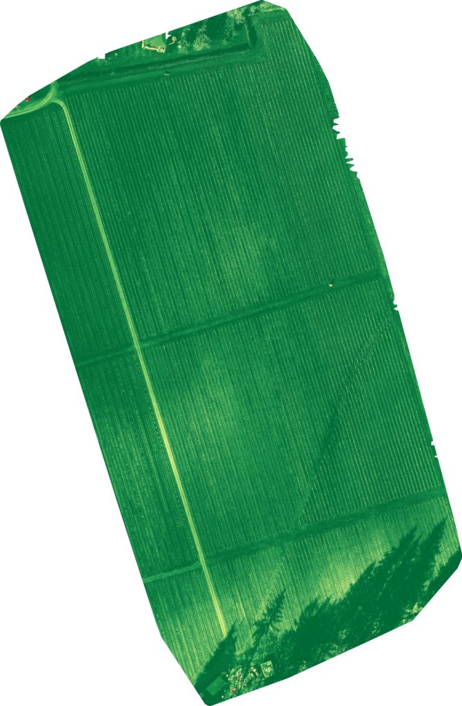
Plant Health Models, developed from Orthomosaic images captured at critical points during the grazing or growing cycle, allow agricultural managers the ability to quickly see the overall impacts of grazing, irrigation, and other key growth indicators on their potential yield and the overall health of their pasture and cropland.
Using our standard, RGB (ie. Visible, Red Green Blue) camera, we are able to produce several Plant Health Models, at a price point puts this advanced imaging technology within reach of agricultural producers of all sizes.

Visible Atmospherically Resistant Index (VARI)
The Visible Atmospherically Resistant Index (VARI) is designed to emphasize vegetation in the visible portion of the spectrum, while mitigating illumination differences and atmospheric effects. It is ideal for RGB or color images; it utilizes all three color bands.
Reference: Gitelson, A., et al. “Vegetation and Soil Lines in Visible Spectral Space: A Concept and Technique for Remote Estimation of Vegetation Fraction.” International Journal of Remote Sensing 23 (2002): 2537−2562.” (ESRI, 2018)

The Excess Green Index (ExGI) contrasts the green portion of the spectrum against red and blue to distinguish vegetation from soil, and can also be used to predict NDVI values. It has been shown to outperform other indices (Larrinaga et al. 2019) that work with the visible spectrum to distinguish vegetation.
Reference: Techforwildlife.com – Analysing Drone and Satellite Imagery Using Vegetation Indicies

The Green Leaf Index (GLI) was originally designed for use with a digital RGB camera to measure wheat cover. It can also be applied to aerial and satellite imagery.
Reference: Techforwildlife.com – Analysing Drone and Satellite Imagery Using Vegetation Indicies

The Triangular Greenness Index (TGI) was developed to monitor chlorophyll and indirectly, the nitrogen content of leaves (Hunt et al. 2013) to determine fertilizer application regimes for agricultural fields. It can be calculated using RGB imagery and serves as a proxy for chlorophyll content in areas of high leaf cover.
Reference: Techforwildlife.com – Analysing Drone and Satellite Imagery Using Vegetation Indicies