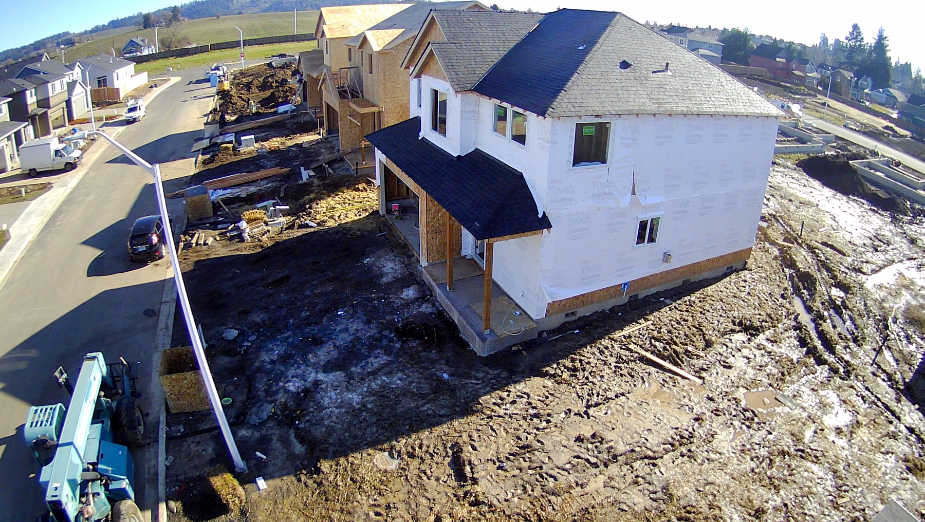
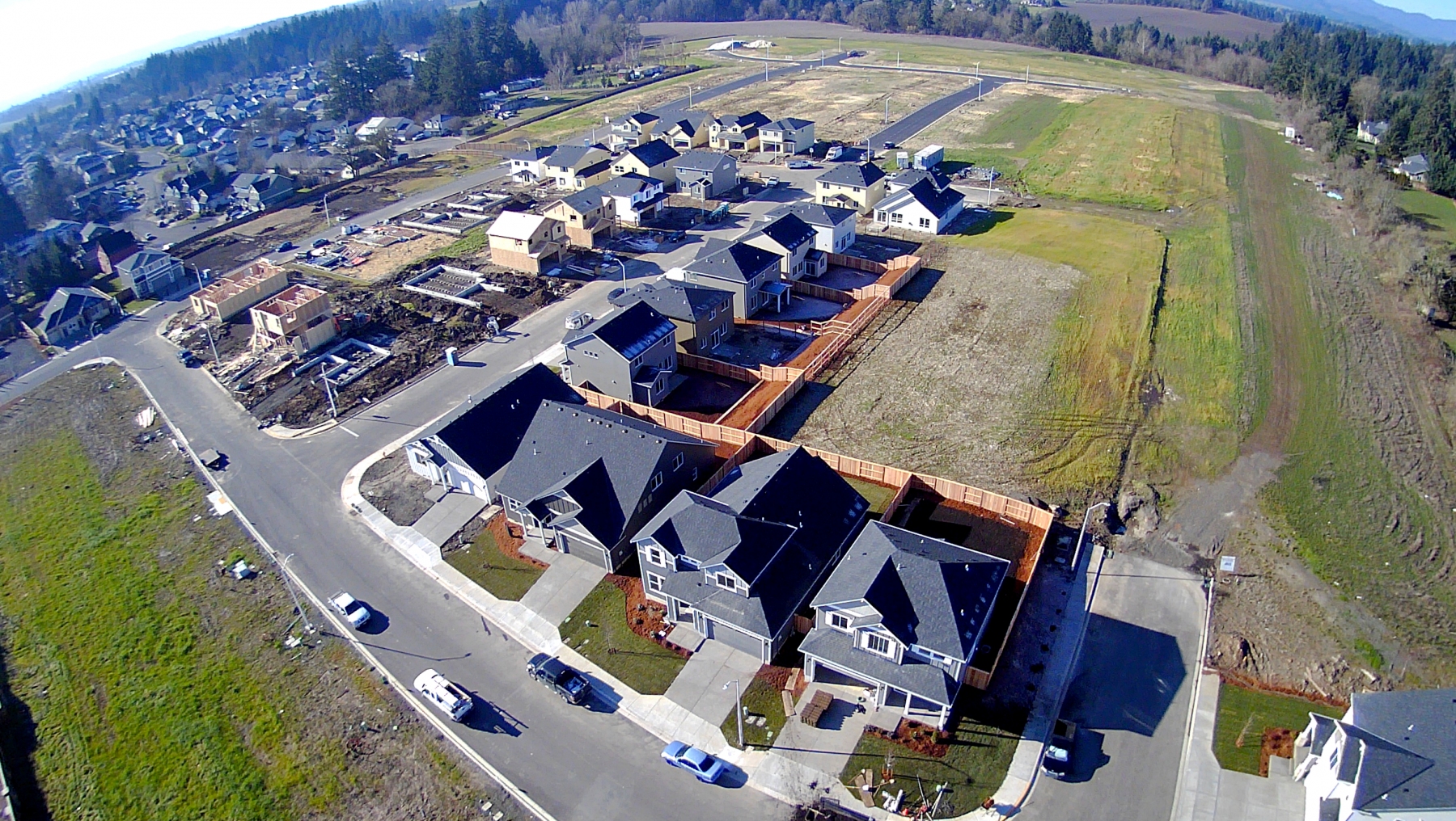
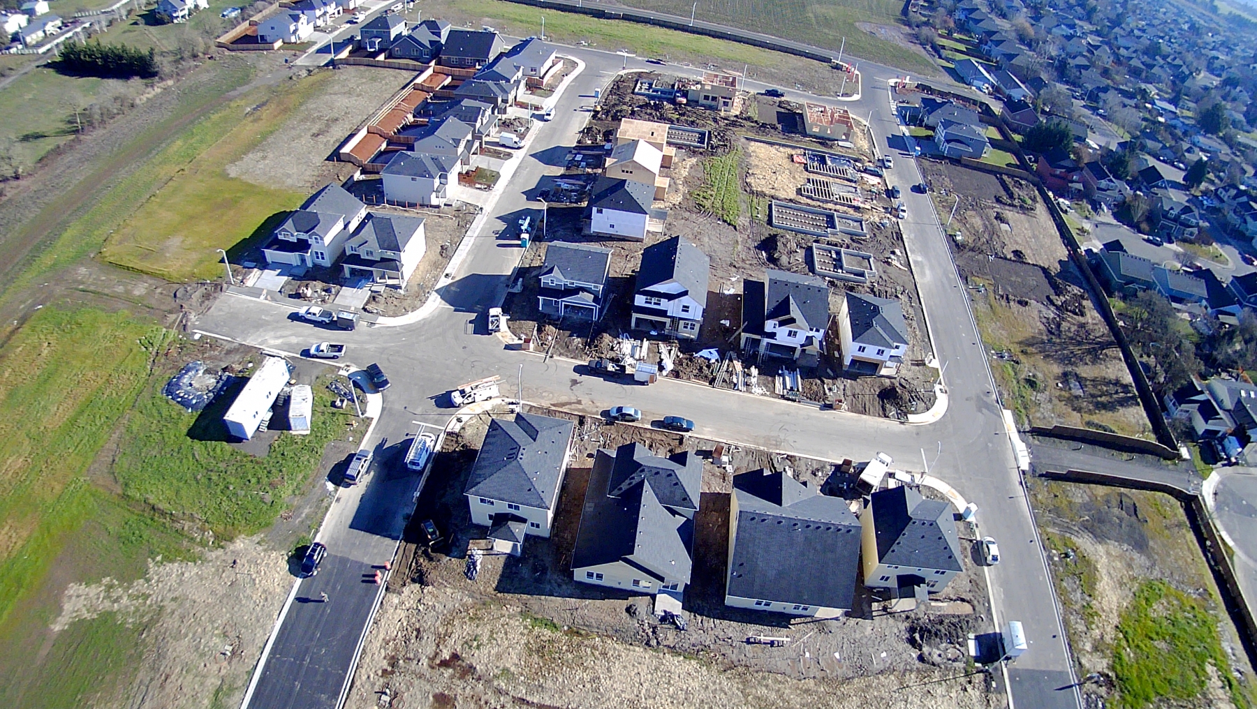
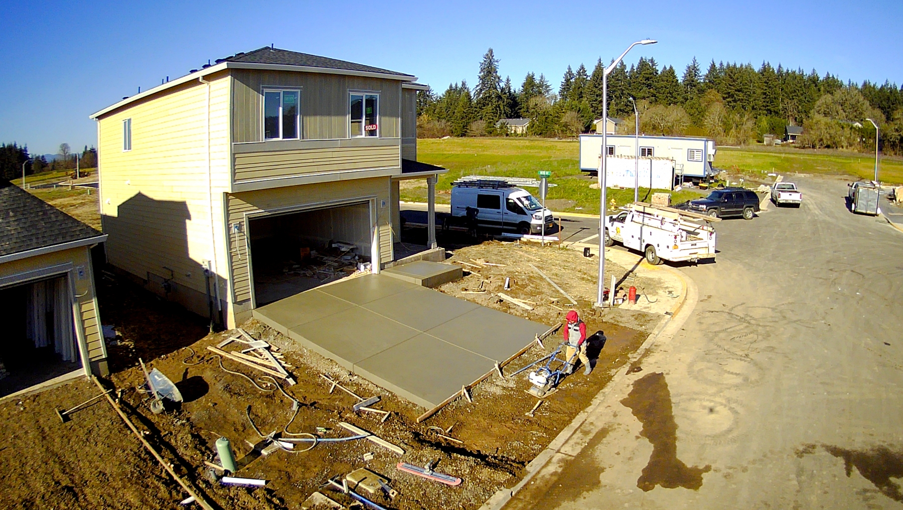
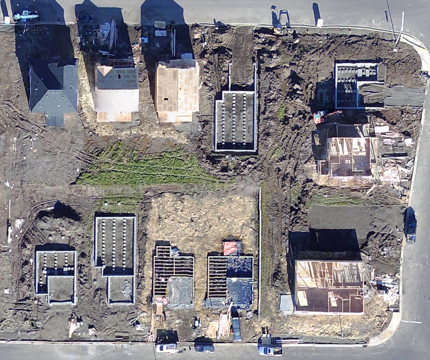
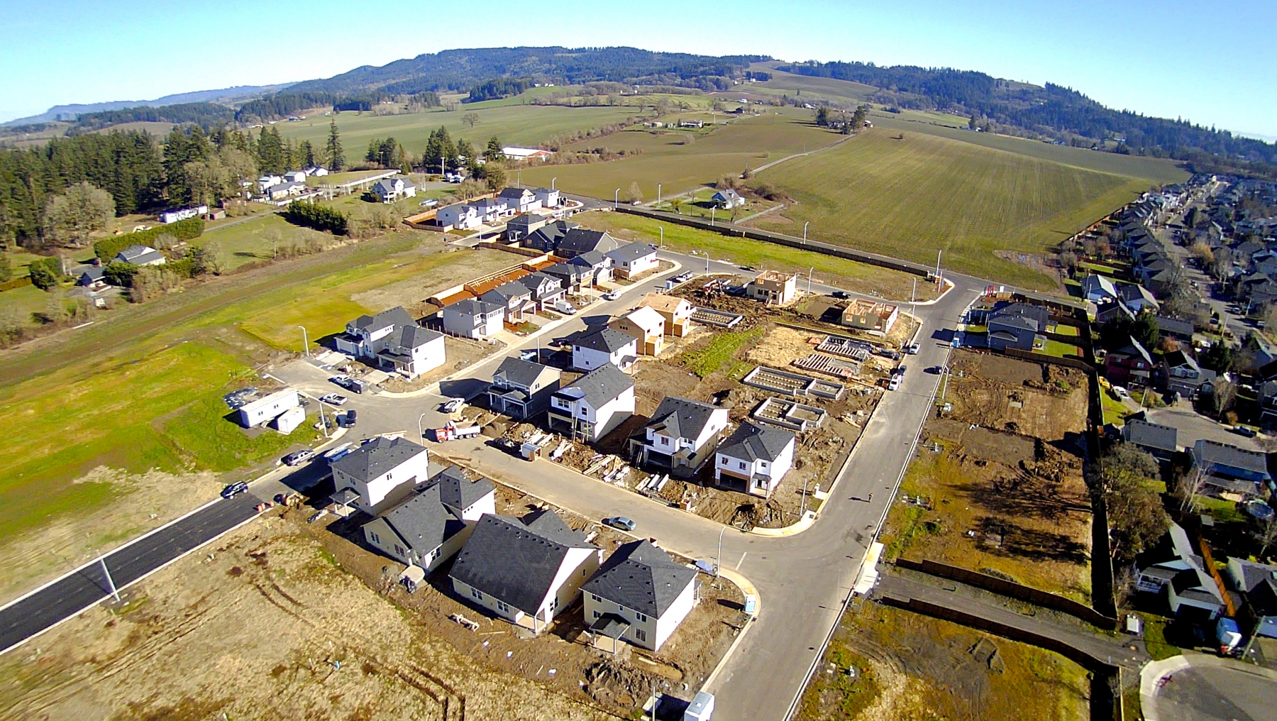
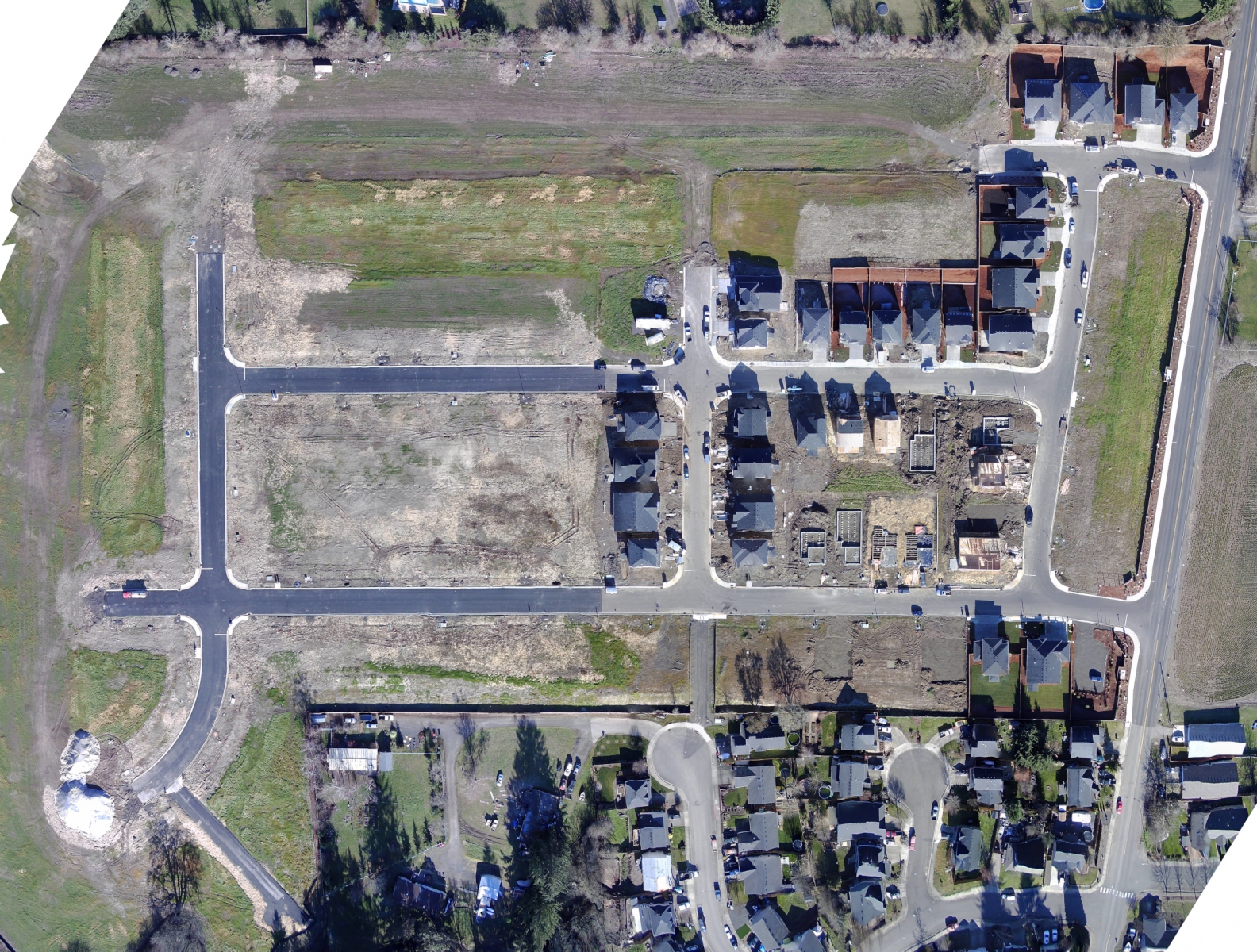
From single home or shop builds to major housing developments, aerial photography offers builders, contractors, site developers and supervisors the ability to plan, monitor and showcase their projects in multiple locations from anywhere with an internet connection. Orthomosaic maps of jobsites greatly aid in understanding the layout of the property, vegetation and timber, location of roads and placement of existing infrastructure and can reveal issues that may not be clearly evident from the ground.
During the course of a project, it can keep all entities on top of current situation on the jobsite, for example:
- Site Layout, provided by overhead photos and Orthomosaic Imagery
- Current progress of roads or driveways, landscaping, framing and more
- Current placement of material, machinery and other critical assets
- Point of Interest, full circuit, video captures: Invested parties can get a much more up-close-and-personal view of project progress, showing framing, windows, roofing, utility and landscaping.
- 3D Modeling, allowing free-form exploration of the structure from all angles
- Flyby videos can offer project planners the ability to see the situation on the ground in detail with video that can be captured and reviewed in a matter of minutes ensuring each step of the project proceeds on schedule and heading off potential, and certainly unwanted, surprises when they show up to the jobsite.
