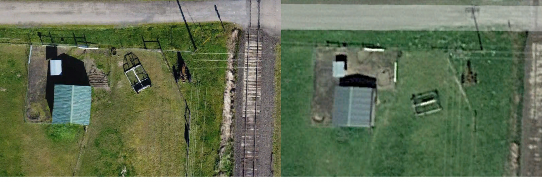
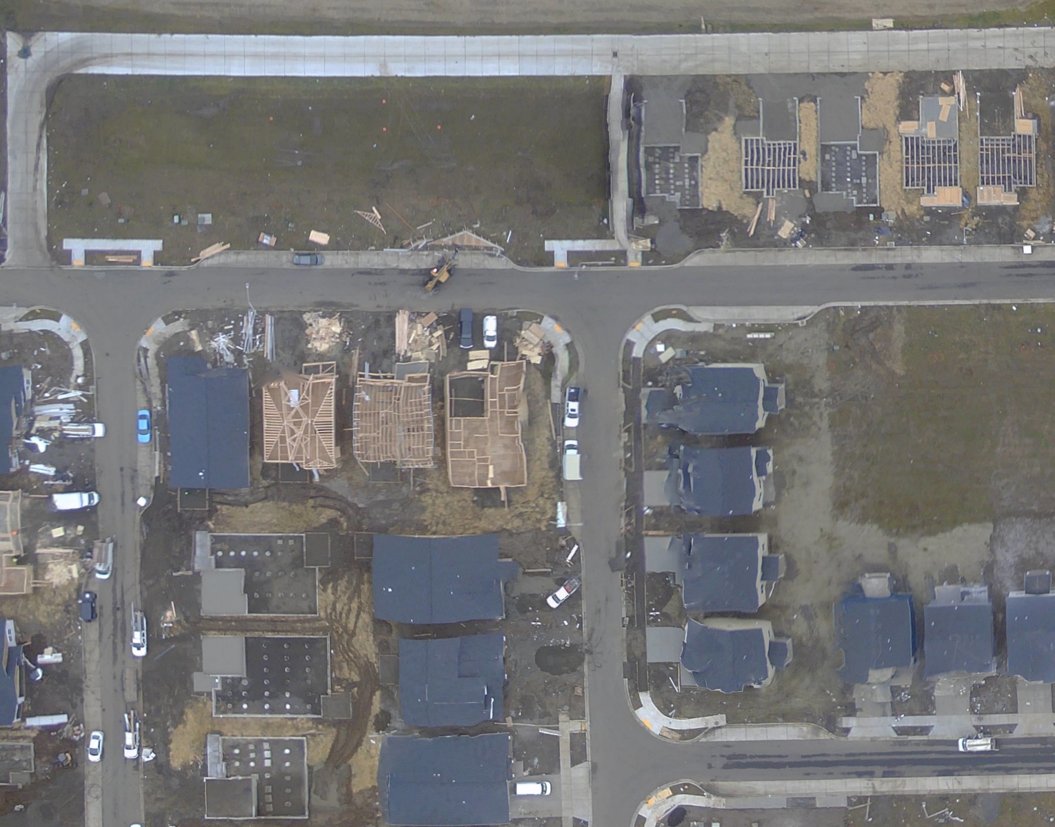
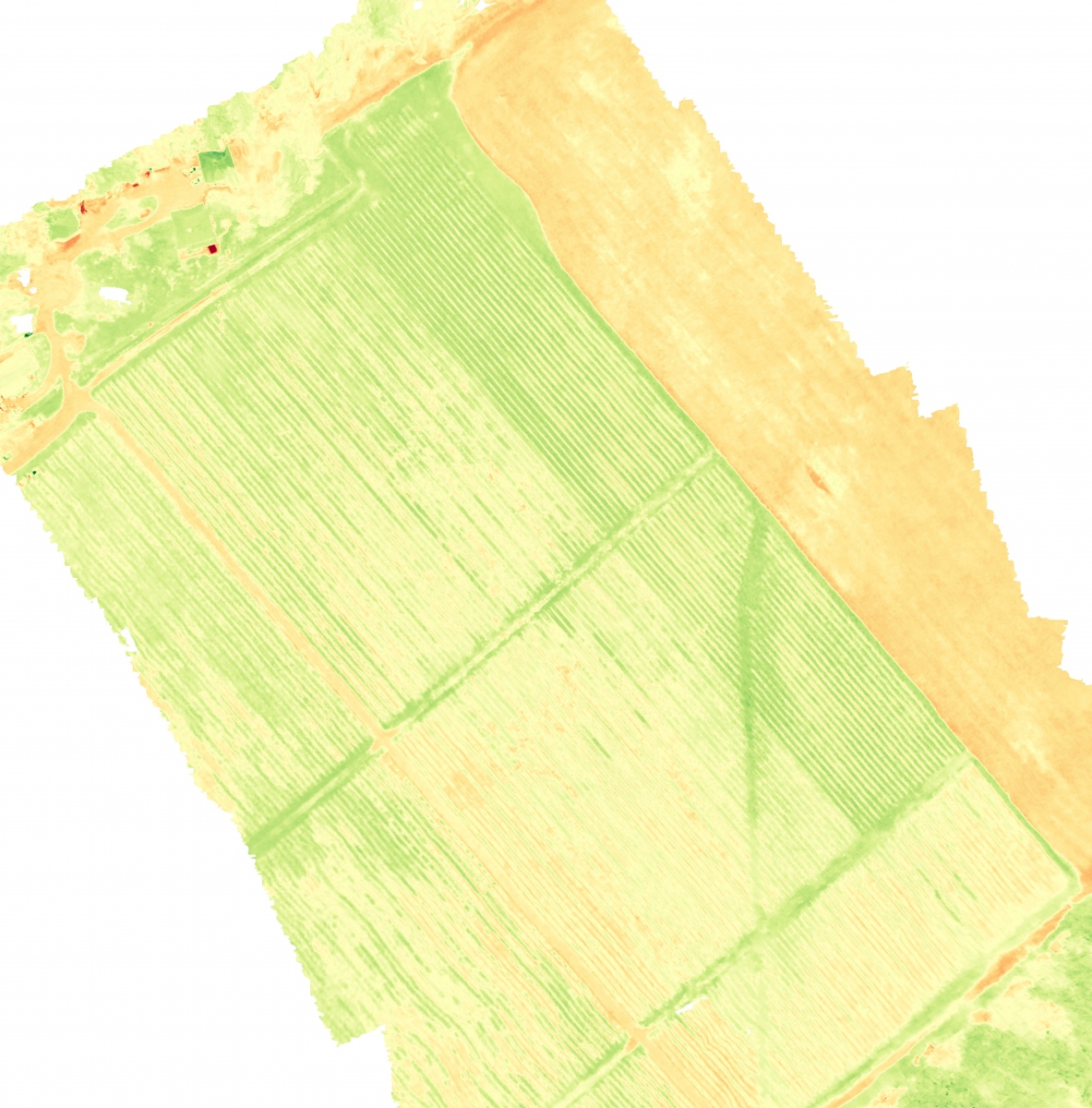
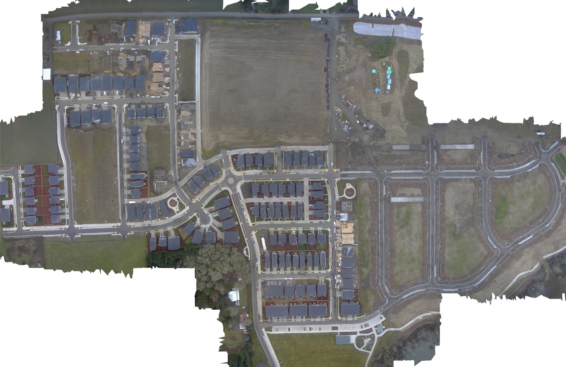
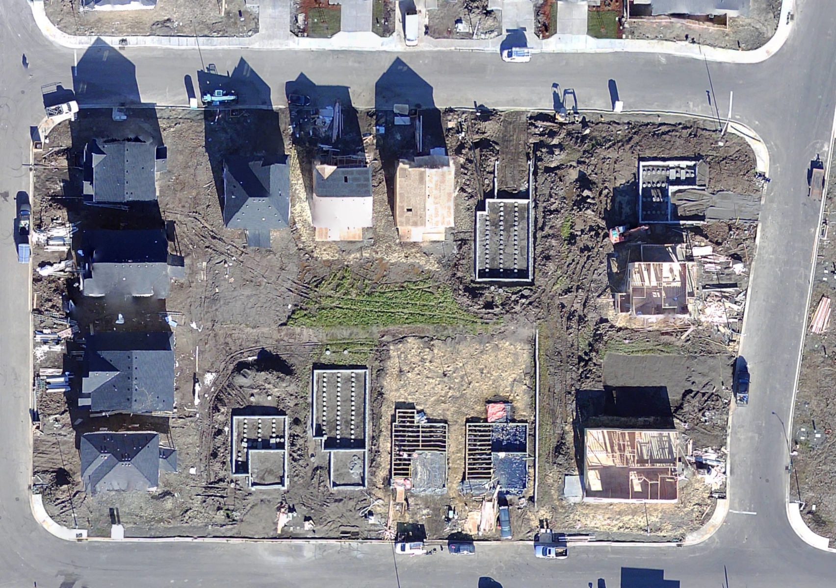
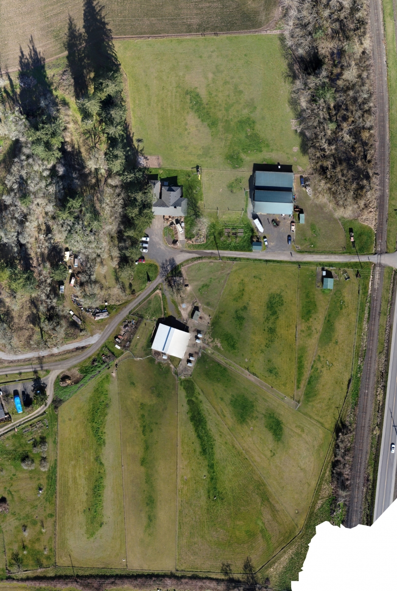
Imagine being able to update the Google Earth imagery for your location at any interval you choose and being able to zoom in much, much farther. Orthomosaic photography from Yamhill Drone Services can make this a reality. With as little as 30 to 45 minutes of flight time, we fly a grid over dozens of acres and can cover more in extended sessions. By stitching together hundreds of pictures taken from directly overhead, our state of the art software can produce images and Plant Health Models in geo-tagged formats like GeoTIFF and KMZ that can be viewed in Google Earth and other mapping tools. The overhead photos can also be viewed in any standard photo viewer or incorporated into a Real Estate listing or presentation.
Orthomosaic images show the layout of the land, topography, vegetation, structures, machinery and other resources. It is important to understand the difference between an orthomosaic image and a map or survey. Orthomosaic images, without being precisely tied to GPS points on the ground as a full survey would, can provide a current state of the property and/or project and the general layout. It can also be used to monitor the health of vineyards, cropland and orchards/groves. For applications where you are in need of measurement data to place structures, fences or other infrastructure, it is extremely important to obtain the services of a properly trained and licensed surveyor. To find a surveyor in your area, visit the Professional Land Surveyors of Oregon.
